-
23 February 2023Karsan Hydrogen Fuel Cell Bus e-ATA Hydrogen
-
17 July 2024Small City Buses: The Eco-Friendly Choice for Urban Commutes
-
23 September 2024Different Bus Sizes in Urban Transportation
-
02 October 2024What is a Shuttle Bus? How is it Used in Urban Transportation?
-
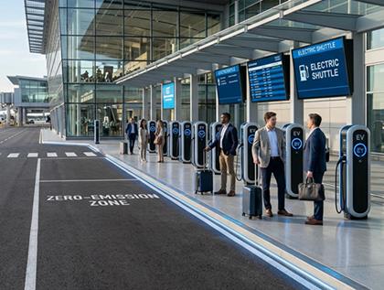
12 June 2026Electric Airport Shuttles: The Case for Going Green
-
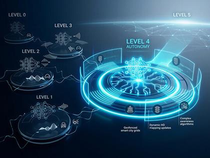
05 June 2026Level 4 vs Other Autonomy Levels: What Sets It Apart?
-
29 May 2026Green Hydrogen vs. Battery Electric: Which Zero-Emission Bus Is Right for Your City?
-
22 May 2026Why Romania Is One of Europe's Fastest-Growing Electric Bus Markets?
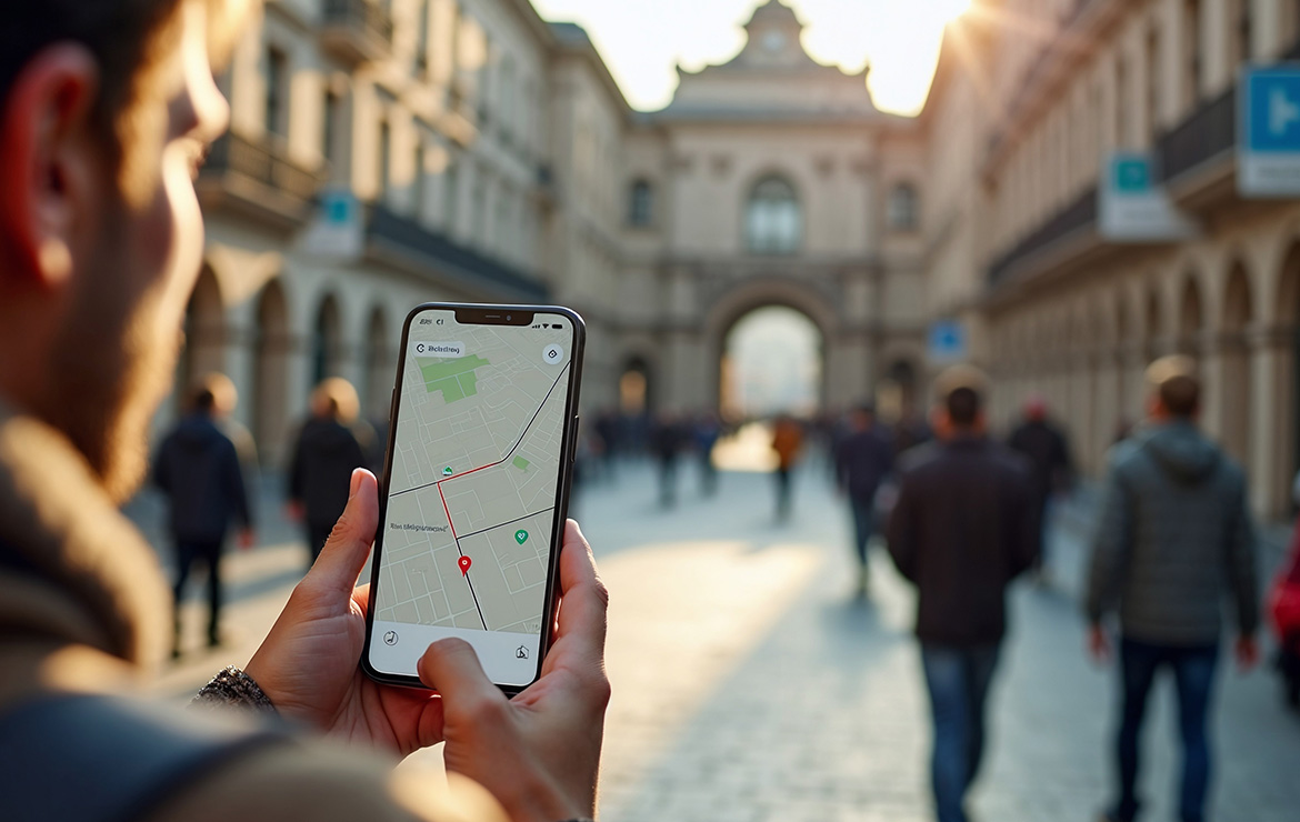
Tourism is changing. Visitors no longer rely on large, printed paper maps. They use smartphones. They want real-time information. They demand flexibility. Cities must adapt their transportation networks to this digital reality.
The integration of electric shuttle lines into digital city maps offers a solution. It bridges the gap between technology and physical transport. This approach creates a seamless experience for tourists. It also provides smart mobility data for operators.
Integrating E-Bus Lines into Digital Ecosystems
Modern tourists expect certainty. They want to know exactly when the next bus arrives. They want to see the route on their phone screen. Integrating public transport data with platforms like Google Maps or CityMapper is essential.
Electric shuttle lines are perfect for this integration. They often run on specific, shorter loops. This makes them easy to track. Operators can share real-time location data (GTFS) with map applications. A tourist sees the moving bus icon on their screen. This reduces anxiety. It eliminates the fear of getting lost in a foreign city. The visitor waits confidently at the stop.
Creating Self-Guided Tours with Smart Routes
Municipalities can use this technology to guide visitor flow. They can create digital "Green Lines" or "Culture Loops" on the map. These routes connect museums, parks, and historical sites.
Tourists can follow these routes at their own pace. They do not need a tour guide. They simply hop on the electric shuttle. They hop off at a point of interest. Then, they check the app for the next shuttle.
This model supports self-guided city tours. It distributes the crowd evenly across the city. It prevents congestion at a single location. The transport system becomes a part of the tourism experience.
The Role of Agile Vehicles: Karsan e-JEST and e-ATAK
Digital routes need compatible vehicles. Large, old buses do not fit this modern image. They cannot enter narrow streets where digital maps often lead tourists.
The Karsan e-JEST fits this purpose perfectly. It is a compact, 6-meter electric bus. It can navigate the tight corners of a "Culture Loop" with ease. It picks up passengers from hotel doorsteps. It delivers them to the entrance of a historical site.
For routes with higher demand, the Karsan e-ATAK offers a solution. It belongs to the 8-meter class. It carries more passengers but remains agile. Both models are quiet. They do not disturb the audio guide experience of the passengers. They offer a smooth, high-tech ride that matches the digital efficiency of the map app.
Data-Driven Decisions for Operators
Smart maps work two ways. They give information to the user. They also collect data for the operator. Municipalities can analyze search queries on map apps. They can see where tourists want to go.
If many people search for a specific distant castle, the municipality can add a new shuttle line. They can deploy a Karsan e-JEST to test the route. This prevents running empty buses. It optimizes resources. It ensures that the transportation network meets the actual demand.
Conclusion: A Seamless Digital and Physical Journey
The future of tourism is not just about the destination. It is about the journey. Integrated public transport makes this journey easy.
Combining digital maps with electric shuttle lines creates a modern ecosystem. It gives freedom to the tourist. It gives control to the operator. Vehicles like the e-JEST and e-ATAK enable this transition. They provide the physical comfort that matches the digital convenience. Cities that adopt this model will attract more satisfied, independent, and eco-conscious visitors.